27 Jun 2018

Littondale 3 Peaks / 5 Nuttalls... Wednesday 13th June

The shame, I have only just sat down to blog this 2 weeks belated.... After the usual deliberations, I decided a Littondale Three Peaks route would provide a refreshing and shorter but more off-piste alternative to the standard Yorkshire Three Peaks... It's certainly off-piste, I met as few people as I can count on one hand outside of the brief section where the route is shared with Pen-y-ghent.

Starting out from Litton, I undertook a clockwise loop visiting Darnbrook Fell, Fountains Fell, Pen-y--ghent, Plover Hill and Birks Fell before returning to Litton, all in all taking a little over 8 hours and covering 18 miles with what my OS planner believes is about 4250ft of ascent. I was out of bed early and walking by about 6am.

 Crossing a dry river on the ford at Litton

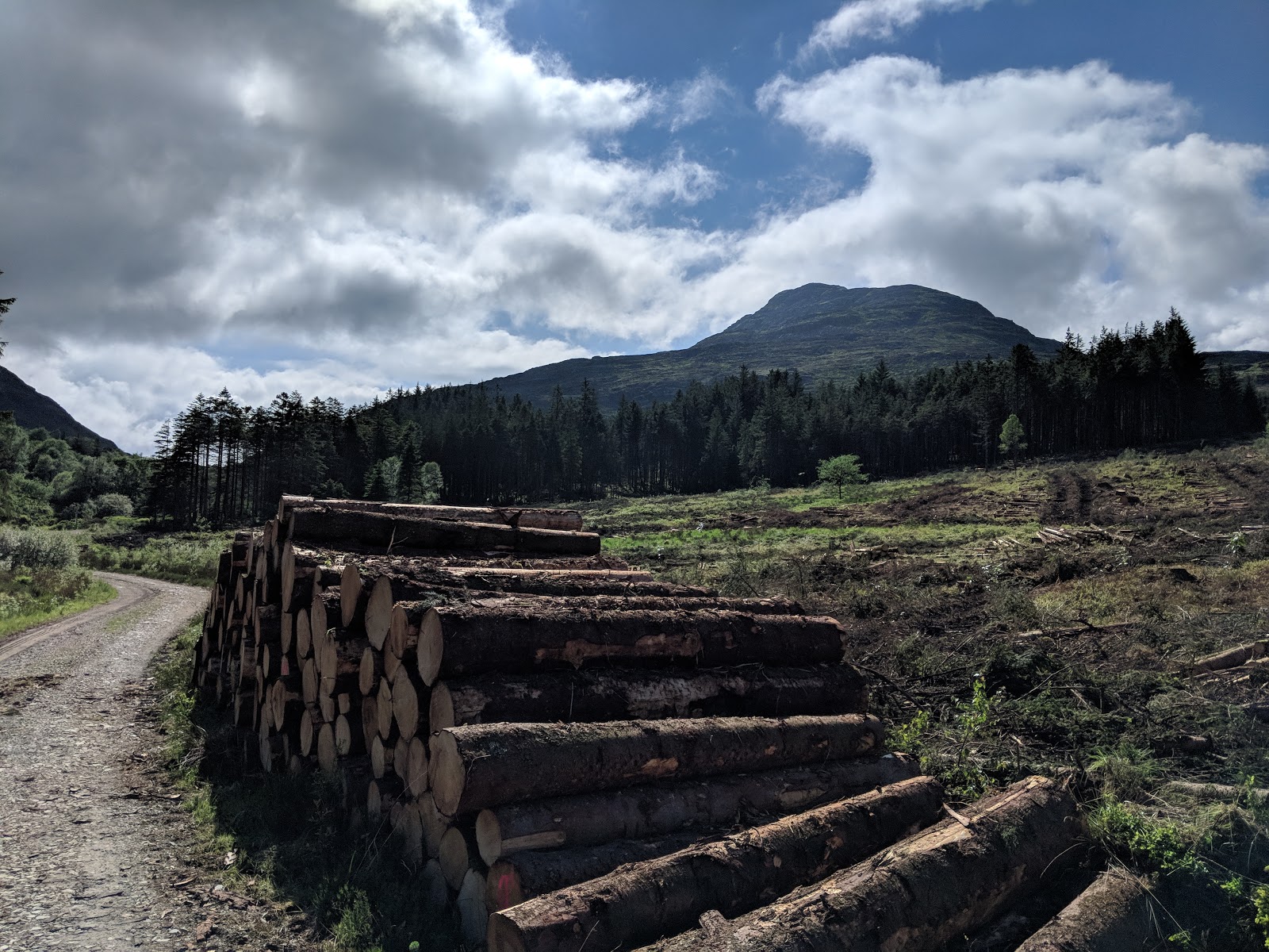
I joined the Nuttalls' suggested route which follows a track leading from Litton part-way up Darnbrook Fell

 looking down on the ascent up Darnbrook Fell, which is pretty much pathless in places

 Darnbrook Fell is not on any real path and feels like it's not visited too often

 I wouldn't fancy this in winter. In my opinion, it's one for the dry season.

 I haven't seen a label-plate like this on a trig point before

I really enjoyed being on Darnbrook Fell, it had a real 'back-of-beyond' vibe.  Gladly it was a clear day and I could see across to Fountain's Fell, my next objective. I made a direct beeline before getting thoroughly fed up with rough ground and peat hags. I tried my luck following the wall along, and crossing over to the other side which proved a bit more steady underfoot but really at the lower limit of what you could call a path. I didn't take many photos of the crossing.
I could have also visited Fountain's Fell South Top, but I decided this was not really on the Littondale skyline and wanted to conserve energy.

 on Fountains Fell

It's worth noting that Fountain's Fell was once a coal mine and is pockled with dangerous open shafts

 Fountains Fell top, Pen-y-ghent on the right and Ingleborough on the left

I thought I remembered there being some sort of direct path down Fountain's Fell alongside the wall you can see going off to the top right of the above, but there is no track and an exceptionally steep slope. I thought why not and zig-zagged my way directly down to eventually join up with the Pennine Way takes a more sensible line on a diagonal Eastwards up the slope.

 Looking back up Fountains Fell, the descent took no time

A little plod along the road ensues, thankfully there are clear flat grassy verges to avoid walking on tarmac much of the way.

 Pen-y-ghent is comparatively light work from this side given the ascent starts at around 420m

 Gritstone on the second raise up to the top

It's always a pleasure to be on Pen-y-ghent, one of my favorite fells and probably my most often visited mountain over the course of my lifetime.

A large group of Y-3-P walkers arrived as I was taking a rest at the Summit. Their spirits were still high this being the first of the three.

 The crowds vanish in an instant once you break off the Y-3-P route and out towards Plover Hill.

 looking back over to Darnbrook Fell (left) and Fountains Fell (right) which I had crossed earlier

I did a fair bit of plundering around on the Plover Hill summit trying to make sure I visited the highest point. I have since started photographing the pages from the Nuttall guide to avoid any further confusion. It turns out that a small cairn on the opposite side of the wall to the path marks the summit but there is little in it and I would never encourage anyone to climb over a dry stone wall as they must be preserved not damaged.

 the path down towards Foxup Road

I was pleased to find the Foxup Road in OK condition. Back when I was at school in the area in the early 00's the bridleway was devastated by motorbike tracks and some sections were over 100m wide with loads of deep ruts, it was a bit of a nightmare to be honest.  At least that sort of thing isn't tolerated so much now.

 this is one of the more inventive latch contraptions I have come across

Honestly by this point, I was starting to get sore. I blasted up Pen-y-ghent and was starting to think 'this is too easy!' and I was basically sore from that point onwards. My take-away is that I should maintain a steady pace on longer routes to try and avoid lactic acid build up. I kept promising myself a break at Plover Hill, and then Foxup, but I decided to get started with the steady climb up the bridleway towards near the Horse Head. It's a nice steady climb this, the steepest bit is at the bottom and it's really enjoyable when you're legs and feet are fresh. I plodded up and took my break when I reached the top bridleway.

 looking back, Fountains Fell left, Plover Hill right and Pen-y-ghent in the distance in the middle

Birks Fell

a faint path runs alongside the wall the length of Birks Fell. It's a steady 3.3m along the ridge with the summit nearer the far end. When I say Birks Fell I guess I collectively am referring to Horse Head, Birks Fell and Firth Fell. Birks Fell has the highest point on the ridge.
It's mostly flat going and really not bad when dry underfoot, but there is a proper Kinder / Bleaklow style stretch of Hags and Groughs about half way along which does plenty to dampen the spirits of a man who just wants to crack on and get this boxed off by this point... Fortunately, it wasn't too boggy at this time of year; I'd hate to undertake this in Winter.

 this cairn marks the true summit

It was lovely to finally bag this Nuttall having previously come so near but missing it, crossing the fell on both the traversing paths in a past life when hill-bagging wasn't a priority. I took a rest in a sheltered spot and after a few minutes respite resolved to make my way back down to Litton, closing the loop. I knew all the worst difficulties had been overcome.

Litton in sight now

I arrived back into Litton with no difficulties.
Driving back home along Wharfedale and reflecting, I felt sore but I felt awesome. I mused that this was the perfect choice of walk for me, for the most part a day spent in the back of beyond, ideal weather conditions for walking (overcast and a breeze but not cold), plenty of distance and ascent under my belt. What a perfect day!

12 Jun 2018

Cwm Clyd, Alternative Bochlwyd Horseshoe... 9th June 2018

Another excellent weekend for it weatherwise.  I was graced with Saturday off work and set off directly from work on Friday evening.

I ascended from Pont Pen-y-benglog to my spot for the night at Cwm Clyd. I picked a spot further out on the wing of the cwm where there was just enough breeze to keep the midges at bay. I slept beautifully for a few hours then was packed up and on my way down to the car to swap kit by sunrise.

 Pen yr Ole Wen

 fingers of cloud coming in over the top now

 looking over to Cwm Cneifion

sunset

 Sunrise

Tryfan becons now

The next day I struck out along the Ogwen Valley and instead of taking the usual path by the wall up to Tryfan, I went further to the junction with the old A5 and headed up from there. My objective was to get to the Heather Terrace to find the start of Nor Nor Groove.

I took a 'short cut' that lead to some ridiculous and readily avoidable trailblazing on my way up to eventually meet an easy path after which I found the start of the terrace readily. It's rather nice.

 Tryfan Bach

 mists in the valley

 Tryfan is so imposing

the Nor Nor Notch route runs up the left of the gully

I was incredibly careful in locating the right gully and cross-referenced against my invaluable guide book several times.
The grading is 1+ and I found it just about set me on the borderline between comfortable and overwhelmed. There was one loose foothold on the left near the bottom and I'm sure it will pop on someone one day and if it does it will make that section a bit tricky. There are some steep sections on here and the route certainly asks more than a regular grade 1.  I want to try this in descent one day, I reckon this would pose a fair challenge.

looking down
On reaching the Eastern Traverse Path / ETP, I made the management decision to traverse around to the North Ridge route instead of continuing along the gully. I'm glad I did as this is really the best section of the North Ridge Route I had never climbed fully up to the top of the first tower (Notch Rocks) having on previous occasions opted for the route around on the left that drops into the gully. The conditions were perfect, low wind speed, dry rock throughout, and I found it easier than I expected, but great fun all the same.  Even the ledge dropping into the Notch, which to me looked completely terrifying, was overcome with little concern.


 looking across the Notch

looking down the North Ridge

The majority of difficulties overcome, it was plane sailing to Adam and Eve and onwards towards Bwlch Tryfan.  I will try a more interesting line in descent next time, maybe Little and North gullies.  Today my thoughts were focussed on the next obstacle, Main Gully on Glyder Fach.

 I took a break and cross-referenced which gully is which on Bristly Ridge vs the guide, for future reference

It would appear I decided not to take many more photos at this point.  I'd like to say I followed the route from the guide to reach the Alphabet Slab which is round and along on the right of the above photo, but I took again what I thought was a cracking shortcut but wound up to be another ridiculous trail-blaze. It's generally when I think I know better that I wind up wasting energy like this...  I eventually joined the steep scree path that leads up to the base of Alphabet Slab. I took a rest and re-read the guide to figure out where Main Gully was.

On advancing up I was in a busy climbing area and felt a touch out of place as a group of climbers watched me make my way up the start of Main Gully, another grade 1+.  One look at the 'notorious chockstone move' and I was thinking no-way, but I made my way up to see if it looked any more appealing close-up.
It didn't. I reckon I could have just about fudged my way up it but I absolutely did not have confidence that I wouldn't fall off once I got myself part-way up. the gully drops away steeply below and falling off really is a non-option. Maybe if I climbed and bouldered regularly I wouldn't think twice about this sort of move but to me it looked absolutely horrible. I swallowed my pride and as per the advise of the guide for those who fail to overcome the chockstone I beat a retreat and traversed over to East Gully for a crack at this instead.

 looking out from East Gully

So I plodded up East Gully, which as it happens provides some half-decent scrambling. Once past the cap-stones I foolishly continued up on terrible and dangerous loose rock and scree where the gully widens out, when it would have been prudent to check my line with the guide and cross left to where there is an easier path. The Sun was really starting to beat down so I was glad to see the summit. 
Honestly whilst East Gully poses a different challenge it's overshadowed by Bristly Ridge which just has more going for it as a scramble. But variety is the spice of life.

On topping out I got a second wind and decided to climb Castell-y-gwynt as I haven't yet bagged this Nuttall. I found that it's really not tricky at all and there are many viable routes of ascent and descent.

I hardly took any photos from this point.. I was feeling pretty fatigued and the Sun was bleating down...


looking over to Glyder Fawr

I had been considering continuing over Glyder Fawr and trying a descent of Senior's ridge and gully, but something inside told me to go down Y Gribin.
I had a great time sticking to the very crest of Y Gribin all the way down then continuing down the False Gribin. I really like the character of the False Gribin, there are all these easy ledges which is pretty cool and makes it an interesting means of descent. Things get a bit squelchy underfoot towards the bottom though.

As I passed Llyn Bochlwyd there were crowds of shirtless people sunbathing on the rocks and several taking a dip. I wasn't tempted and carried straight back to the car where I was thoroughly beat... A cracking day scrambling and it felt good to be making the most of the weather and all the dry rock after a prolonged period with no rain.

5 Jun 2018

Fun times in the Rhinogydd, Aran Fawddwy - 2nd and 3rd June 2018


I forgot to post last weeks, which is a shame as it was a cracking experience by all accounts, sadly there were a limited number of decent photos.
So onto this week... I had planned on a rest and staying closer to home but by midday Saturday the weather in pretty much all potential destinations was looking shonky. Granted The Peak District was looking OK but I didn't have any plans up my sleeve, perhaps a lesson learned there... Most of Snowdonia was also fairly poor but the Rhinogydd looked to be outside of the poor weather, so off I went on a whim.

4pm and I'm booted up at Graigddu-isaf. The car park is so remote you have to open two gates to drive to it! I decided I just about had the time to do the 'South Face of Rhinog Fawr' scramble, my first at a grade 2-.  I set off at maximum pace through the woods. Thinking I was crafty I avoided the signs and took the direct right of way over the winding forest track, after two minutes I was in a horrible bog. Not a great start but advancing out and back onto the forest roads I picked up pace again...

Rhinog Fawr looms ahead

closer

On reaching Bwlch Dwrs-Ardudwy, the fast pace slowed to a crawl as I figured out my line from the guidebook.  Basically to get to the base of the scramble the easiest line is up the foundations of an old wall then through boulders. Guidebook recommended. It's not a well-worn line and it's hard to spot the little bits of polish here and there. I didn't get many photos on the way up but I can say it was great fun and felt well off-piste, despite regular consultations with the guidebook affirming I was on the right line.
It had clearly been raining not so long ago so it was a tad unpleasant working through the wet bilberry, heather, and bogs between the slabs that very much characterise this corner of the world.

 looking up at the second section from the top of the first tier

The second tier was easier to navigate and most enjoyable.  The route is a fantastic way to sustain interest right to the top and isn't excessively exposed, but it does feel quite an adventure so I'd recommend building up experience on easier and more navigable routes before undertaking this. Scrambling is extremely dangerous and it is important not to fall off at any point.

views from the top towards the Llyn Peninsula

On topping out I was astonished by the quality of the views. As is characteristic of quite a few peaks in Snowdonia, the isolation and prominence make for extraordinary vistas.
I had a bite to eat but couldn't stop for long though as I was behind schedule already. I had to get back to the car, swap my gear and get back up to find a pitch for the night...

the trig point

Rhinog means 'threshold' and on this day it felt like the Rhinogydd marked a threshold in the weather conditions. West looked gorgeous but East looked overcast and broody.

somebody was already pitched up in the good spot at Llyn Du...

I headed back down as quickly as possible on the North side. On sighting someone already pitched up by Llyn Du I decided I would be heading to Llyn Morwynion for the evening. But first back to the car to swap gear.
It's notable how quiet the Rhinogydd are. I met zero people between the car and summit and about 4 on the way back!  Such a gorgeous place, it just goes to show that height doesn't mean everything and one doesn't necessarily need to go to the top of the country to have a fantastic and rewarding experience. Maybe the toughness of the terrain puts people off, but it's certainly underrated in my view.
I dowsed myself in smidge by the car as the sods were out in force. The combination of recent rain and little to no breeze meant it was prime time. I still feel itchy writing this three days later.
Back up I went headed to Llyn Morwynion.  The proximity to the footpath of around 250m gave me a false sense of security. Soon I was trailblazing through thick, saturated undergrowth and down and across steep banks and gullies to get to the lake. What a nightmare. It's not that I'd missed the path, it's that it's faint to non-existent... Maybe access is better from the West but from the East it's honestly slow going and hard work.
Gladly I reached one of the few flat-ish places by the lake before I lost daylight and proceeded to pitch up. I was on a downward slope of sorts, really it wasn't ideal or conducive to a good night's sleep. Despite this it's the most amazing remote and isolated place to spend the night. It doesn't feel like you are in the UK at all.  I reckon a touch more wind to deter the midges and I would consider going back.


Honestly I got hardly any sleep, perhaps a couple of hours. I got up around 4.30, sleep wasn't forthcoming and I was getting hungry.

I applied more insect repellent before leaving the protection of my tent and swiftly packing up and getting out of there. The spot is sheltered and with low winds after rain it's just midge central.

More trailblazing to get up and out from the Llyn and back to the path, my route this time lead me to the tops where I found a family of goats, a couple were fighting and it made quite the noise, the clatter of horns locking and the less victorious goat being lifted well into the air!

looking back towards the Llyn


Rhinog Fawr in a morning haze

As I made my way down through the woods to the car I heard a cuckoo in the distance and everything seemed perfect. Snowdonia really is my favorite place to be. One day I will move here. I'm already learning Welsh...

On reaching the car I still didn't know what the plan was for the day. I rather wanted to hit scrambling country in the North but it looked a bit bleak over that way.  I decided to head South to Dolgellau to source lunch and a bottle of Coca Cola which I had been craving for about 15 hours and whilst I usually avoid sugary drinks like the plague I felt I deserved a treat.

Checking the met office forecast on Cadair Idris and Aran Fawddwy I decided on the latter as it had the most acceptable forecast.  A quick google and I established that Aran Fawddwy is best ascended from Cywarch, where there is a car park.  It was about 8.30 so I reckoned could still claim a parking spot among the li. Off I headed.

The scenery on route from Dolgellau is basically mind-blowing, after taking the single-track road up Cwm Cywarch I felt like I was properly in the back of beyond. What a magnificent find of a place.  I kitted up and chatted to a fellow ascendee before heading on up.  I knew and could see there were plenty of Nuttalls around to bag but I was in no mood for hill-bagging. There is a cracking circuit you can do heading up Creigiau Camddwr then along the Aran ridge to Aran Fawddwy, before heading back along Drysgol and down an old peat cutter's track which gently descends along the side of Hengwm. This seemed like the perfect outing.

 looking back down the route of ascent


at least in this corner of the World it was shaping up to be a tremendous day


The paths are obvious but look like they don't see too much traffic, it's a hillwalker's paradise...

There are many sections of quaint planks to over-pass the boggy ground

Despite what the OS map says, the path now sticks to the right of the fence and these stiles, which appear to be mating, can be left alone

The mooch along the ridge and steady climb up to the summit of Aran Fawddway are a pure pleasure. Maybe a couple of boggy bits but nothing the boots cant handle.  The whole route is such straightforward walking compared to the rocky stuff in the North, with less pedestrian traffic, it's just so easy going and soothing for the soul.

On topping out I was treated to the most breathtaking views. Some of the best I have ever known. This is the highest point in mid-Wales, South Wales too for that matter, and as such looking South gives a proper 'top-of-the-World' vibe.  Northwards are cracking views across most of Snowdonia.


This bird of prey proudly parades around the summit. He or she seems un-perturbed by people

Thinking about it, I honestly haven't spent this long relaxing on a summit in all my life. The sun was shining, the breeze was gentle and the ground was dry. I lay admiring the view for a good while and after a quarter of an hour was joined by an interesting fellow with whom I chatted for about half an hour. A few other visitors came and went.  It's a heavenly place.

My route of descent passed a cairn built to commemorate the life of an RAF serviceman who lost his life in a lightning strike. Lightning is my worst fear and I thought about how scared he must have been to be in this place surrounded by a thunderstorm. A stark reminder for sure.

Looking back towards Cwm Cywarch. The descent path cuts a clear line across the steep valley side on the left

the memorial cairn

looking back towards Aran Fawddwy

The next section of path down to the bwlch / col between Drysgol and Waun Goch is grassy and you can basically fly down at warp speed. I crossed a tiny patch of boggy ground at the bottom before turning right onto the home stretch.  The path looks interminable but it's easy walking so you can maintain a decent pace. The downhill gradient isn't that steep so you can stride out all the way, but I reckon regulating speed (or 'engine-braking' if you will) must use different muscle groups to most other descents because by the end my legs felt broken!  No matter as it's then not far to the car anyway.

Hengwym is gorgeous


So another fabulous couple of days, this time completely unplanned and spontaneous, and all in places I have never before got around to visiting; all of which far exceeded all my expectations. Certainly this has inspired me to seek out more places beyond my usual haunts, but likewise I have found a new favourite or two in the process.
Hwyl!